Thursday, July 6, 2006

Day 5: Seattle to Victoria

I'll apologize for having to steal some pictures from the internet for this post... the camera's batteries went dead just as the ferry pulled into Victoria yesterday afternoon and I didn't get to replace them until this morning.


First things first, the promised odometer reading. Based on this, plus the distances travelled by ferry, I travelled 265 kilometers on Tuesday. Now of course because the batteries were dead, I didn't get a picture of the odometer last night in Victoria... i'll do the same thing tonight from Spokane.


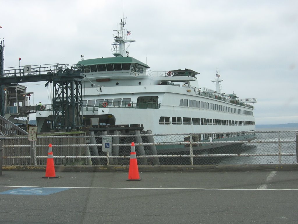
The M.V. Tacoma. A big, beautiful ferry and my ride across Puget Sound from Seattle to Bainbridge Island (the shortcut to Port Angeles).


Goodbye Seattle...


... hello Bainbridge Island!

From what I could tell, Bainbridge is a really nice spot where you really can't tell that you're 8 miles from one of the largest cities in America.


This is pretty much what the drive/scenery looked like most of the way between Bainbridge and Port Angeles. The low overcast prevented any sort of view of the Olympic mountains. Fortunately, i'll be able to see them pretty frequently come August.


For some reason, blogger's photo option has crashed and won't let me add any more pictures at the moment. I need to hit the road or i'm going to miss my ferry, so i'll have to leave you all in suspense for the rest of the yesterday's photos... maybe i'll even post today's journey at the same time.

Anyway, see you from Spokane!

Tuesday, July 4, 2006

Day 4: Vancouver to Seattle (aka: Talking to Americans)


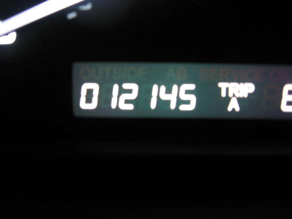
Its Tuesday, so this must be Vancouver. I was smart enough to take a picture of the odometer this morning. Unfortunately, I wasn't smart enough to take a picture when I arrived this afternoon. I'll take a picture before I leave in the morning and update.


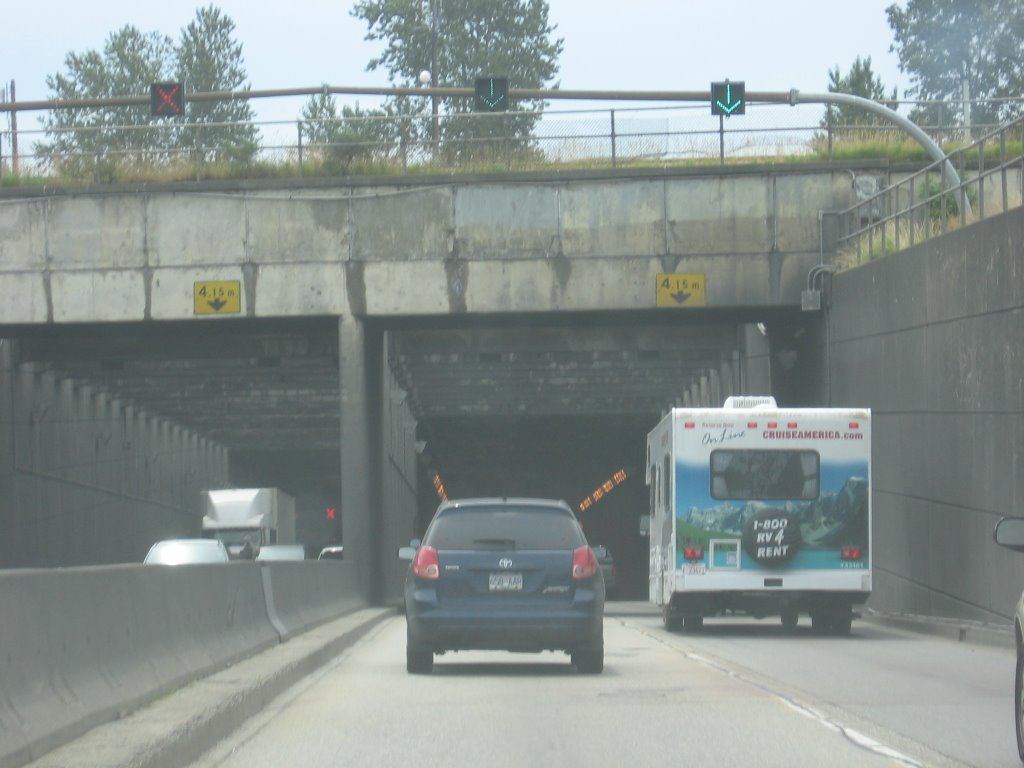
Heading south towards the border... this is the George Massey Tunnel which goes UNDER the Fraser River.


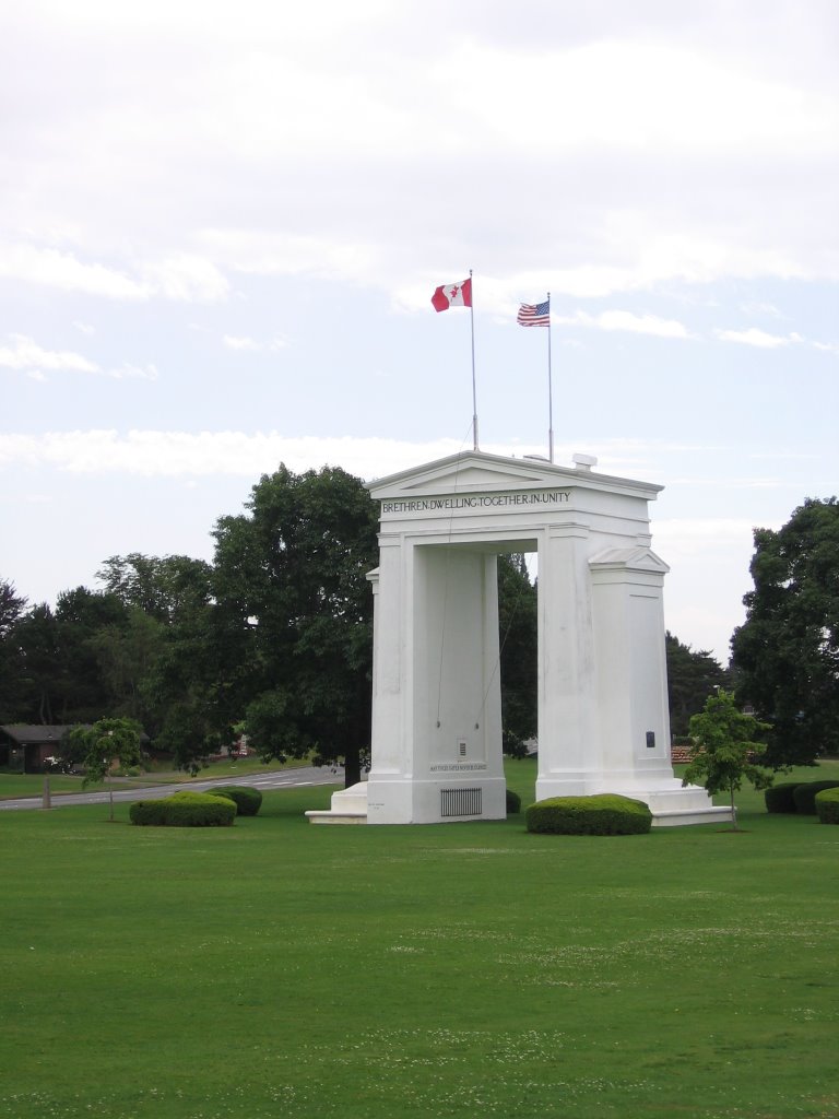
The Peace Arch located at the Blaine Border Crossing. The caption at the top of the arch reads "Bretheren Dwelling Together In Unity".

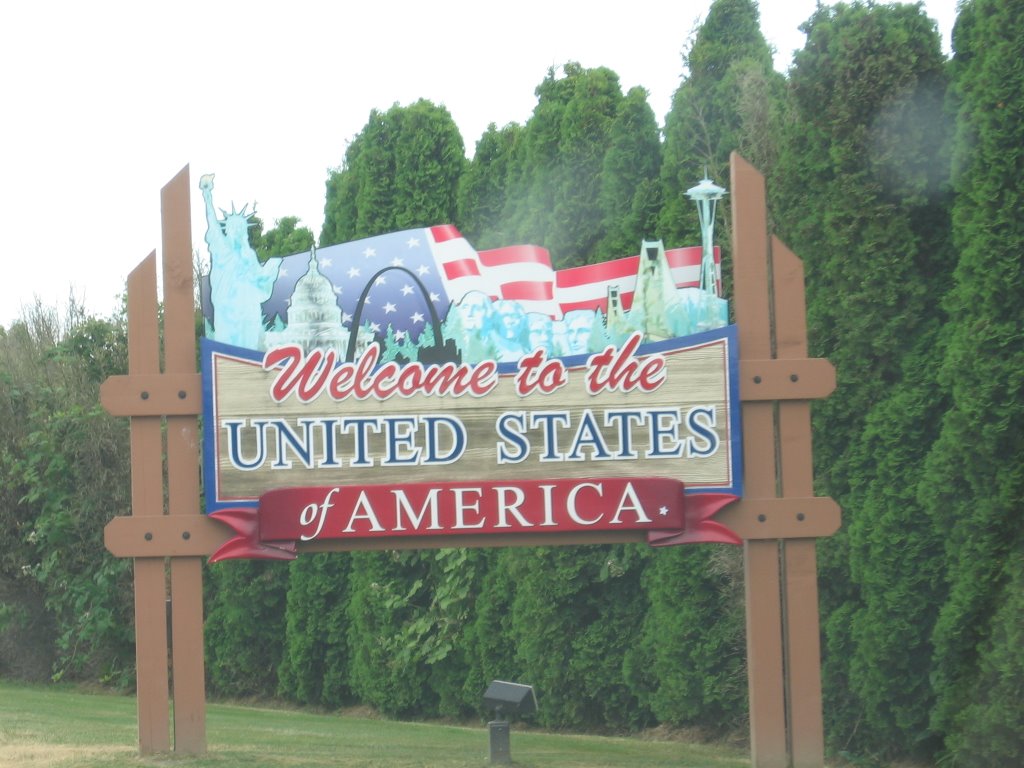
Brings a tear to your eye, doesn't it?


Thank you! Its good to be here!


Maybe THIS is why I feel so at home down here...


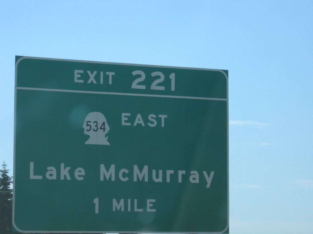
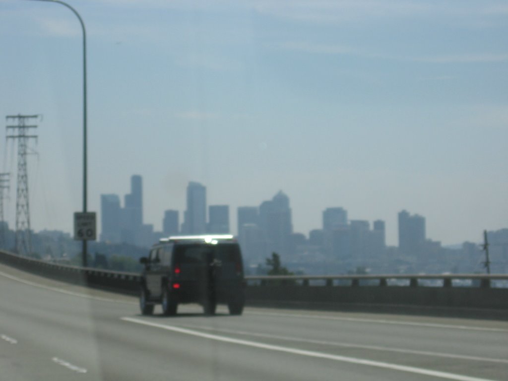
Coming across the east side of Lake Union with a beautiful view of downtown Seattle.


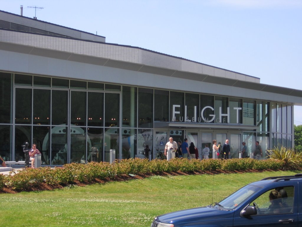
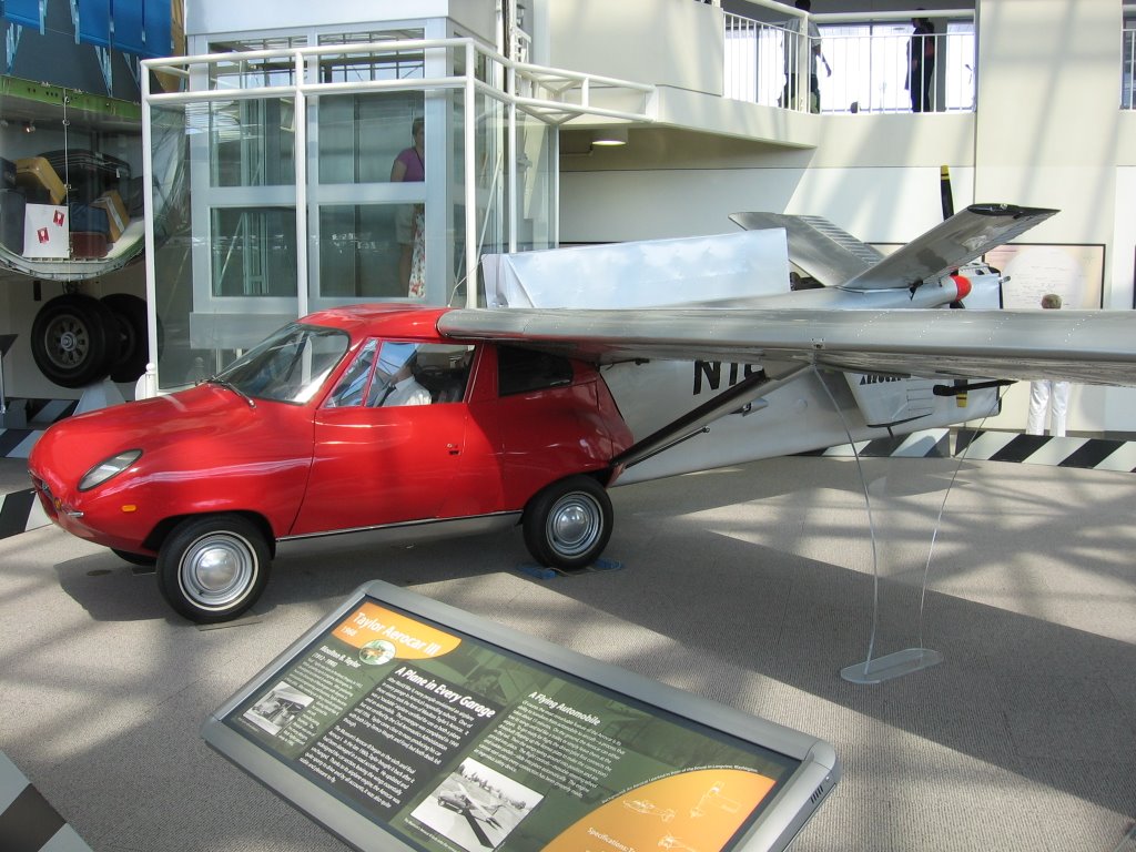
So when Blake goes to Seattle, what's his first stop? The Museum of Flight, of course!


Now a car like this sure would help me cover more ground on this trip... I wonder what the trade-in on the Accord would be...


This is the first Boeing 747 ever built. I get a little chill up my spine every time I see this airplane, and the Concorde parked next to it. Both were truly revolutionary airframes.


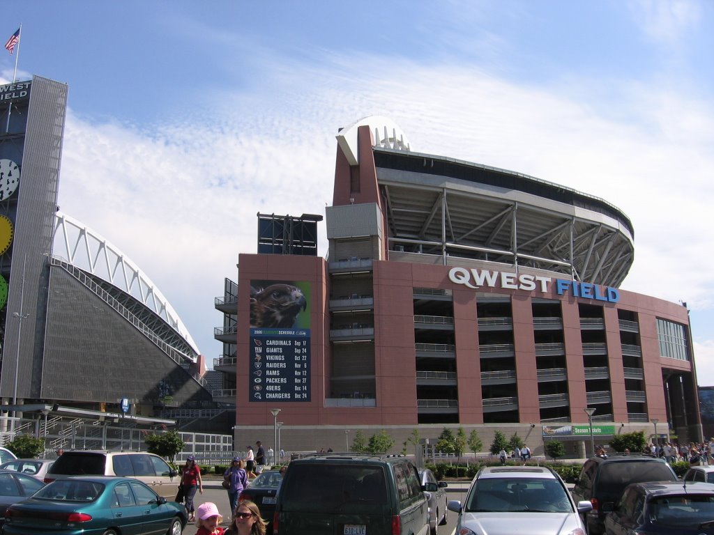
Qwest Field: Home of the National Football League's Seattle Seahawks... far and away the best team in the league.


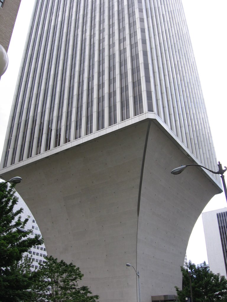
The Rainier Tower. This was one of the first things I walked past on my 3 mile trek to and through Myrtle Edwards Park. Definetly a unique looking structure.


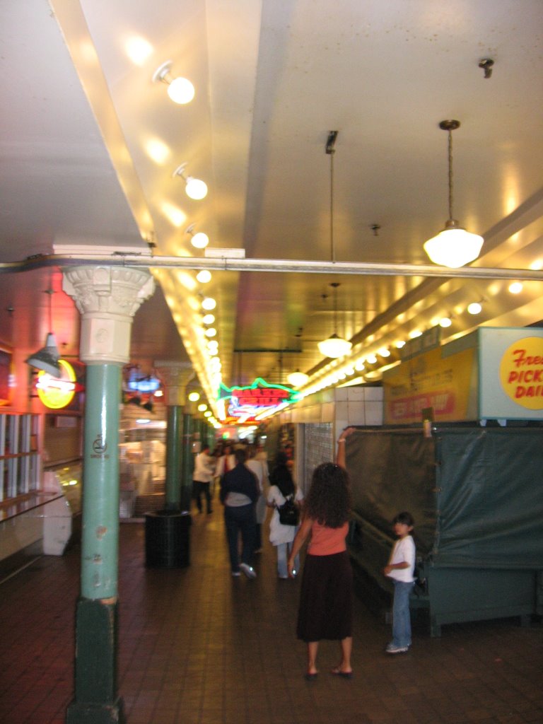
In Seattle's historic Pike Place Market. I got lost trying to find the restaurant where I planned to have dinner, but I ended up here... and that's never a bad thing. Neither was the Alaskan Halibut I enjoyed for dinner!


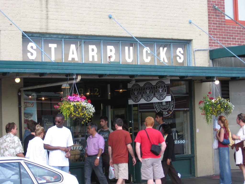
A coffee pilgrammage if ever there was one. This is the world's VERY FIRST Starbucks.


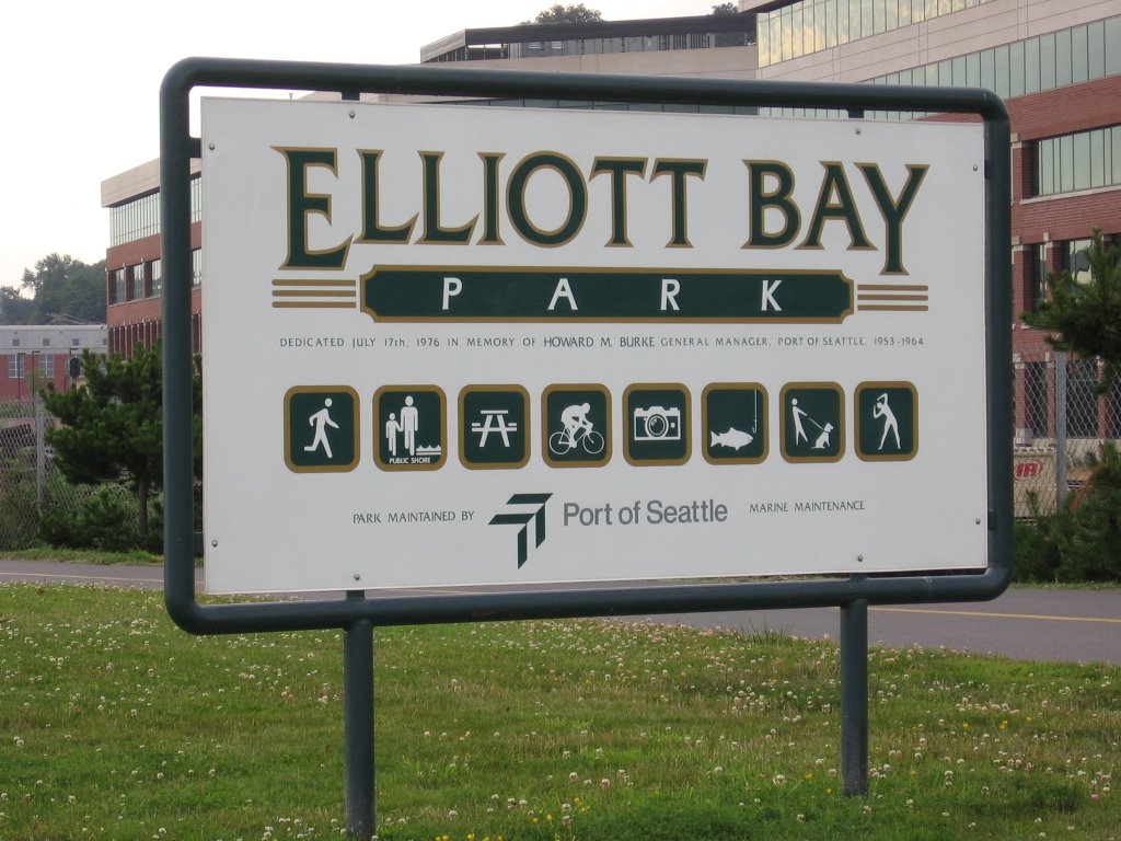
Midway through the trek through Elliott Bay/Myrtle Edwards Park. I was planning on watching one of Seattle's two major fireworks shows here in this park, but I thought of something better.

BTW, for those of you who are Frasier buffs, you'll know that the fictional building that Frasier Crane lives in is called the "Elliott Bay Towers".


At the north end of my 3 or so mile trek up from downtown Seattle. It was worth it for many reasons... the exercise, the chance to take this great photo, and an inspiration.

Now if I want the best view of the fireworks in Seattle, where should I go?


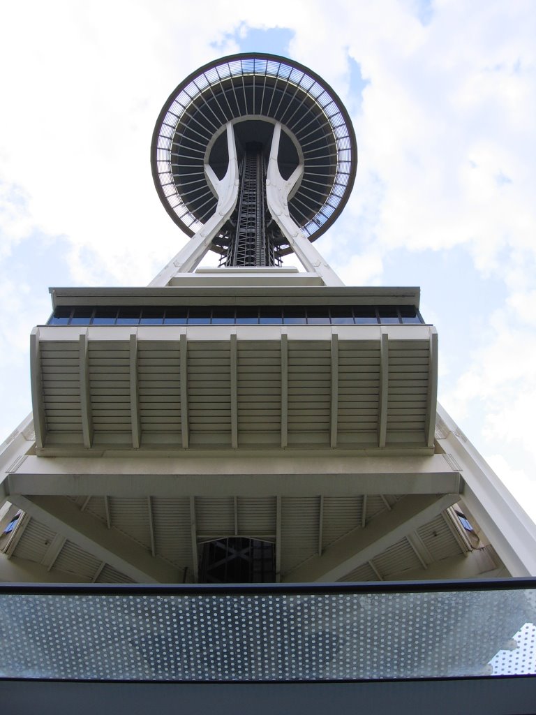
... THE SPACE NEEDLE!


Now it wouldn't be one of my trips without me running into people I know from Fort McMurray. At the base of the Space Needle, I almost literally bumped into Marg and Janet Hatfield (center and right) and their friend. They were in Seattle to celebrate Janet's 21st birthday.


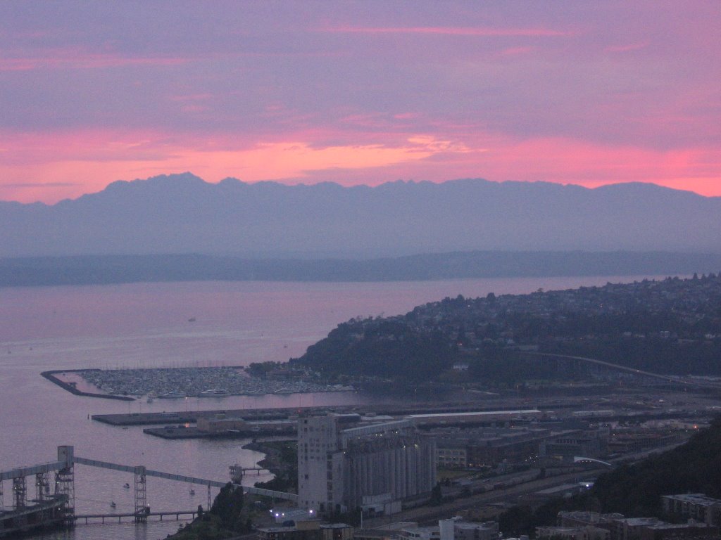
A beautiful sunset from the top of the Space Needle before the fireworks shows. Yes, I said shows. Seattle proper has two major fireworks shows... the Fourth of Jul-Ivars (sponsored by Ivars) is on Elliott Bay to the southwest of the tower and the Washington Mutual show is on Lake Union to the northeast.

Anyway, the mountain range you see in this picture is the same one I see from my apartment in Victoria.


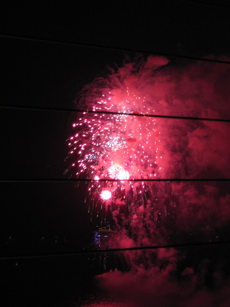
SPECTACULAR!

Happy 4th of July!

Day 3: Kelowna to Vancouver

I know I promised to update this yesterday, but I was more preoccupied with finding dinner so the blog lost out.

Anyway, yesterday was a pretty busy day...


First off, the morning brought a momentous occaision. After musing about it on and off for 6 years, I am now officially a citizen of the province of British Columbia. Its pretty exciting, although it may take me a while to get used to having BC plates.


Later in the morning we had a visit from our friend Erika and her mother Elizabeth. I hadn't seen Erika in a while, so it was nice to catch up with her and to meet her charming mother.


Anyway, it was time to hit the road enroute to a new addition to the trip, Vancouver!


Across the lake and over to Westbank enroute to the 97 Connector. The MP for Westbank and area is none other than the Honourable Stockwell Day.

I think he wants you to know that, too.


Retracing my steps back towards Merritt so I can get back on to my beloved Coquihalla.


The toll booth on the Coquihalla. They charge $10 to travel this highway... I'd pay a lot more, but i'm not complaining.


Now off the Coquihalla and onto Highway 1 coming through the Fraser Valley. For some reason, the Fraser Valley and the cities of Chilliwack and Abbotsford remind me very much of Red Deer. I think the major similarities are the overwhelming presence of rednecks and Christians.

I suspect the major difference, aside from geography, is the percentage of the population who smoke and/or grow pot.


About to cross the mighty Fraser River. I first crossed this river just past the BC/Alberta border on Saturday. From there it winds its way down through the mountains to the Lower Mainland. A few miles from here, she flows into the Georgia Strait and out into the ocean.


Nothing says "Welcome to Vancouver" like a trip down East Hastings.

For those who don't know, this would be Vancouver's infamous "downtown east side".


Finally arrived in Vancouver!

Total distance travelled today: 409km


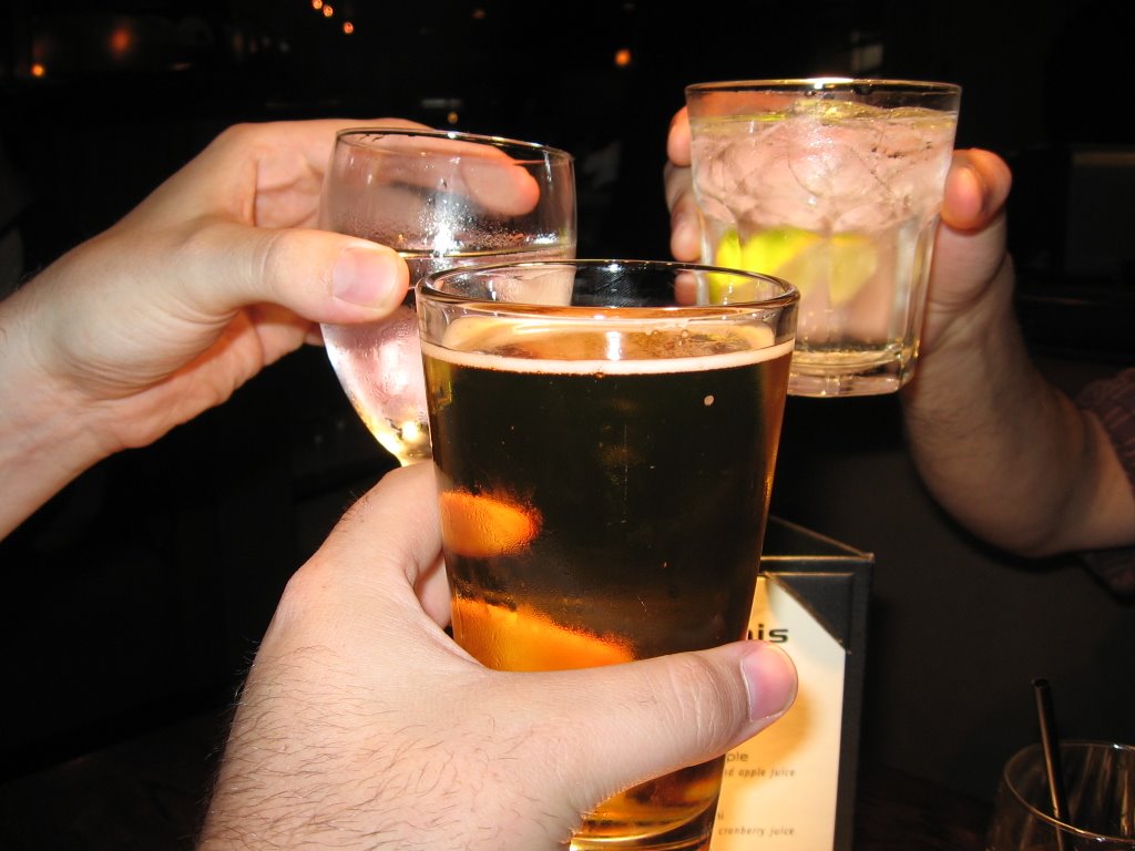
Time for dinner and drinks with Mike and Matt. Mike, the Liberal, is the one drinking water.

Cheers!

Monday, July 3, 2006

Day 2: An intense exploration of the pool

DISCLAIMER: Blogger is being a total bitch today, so this upload probably looks pretty garbled. I'll try and fix it when I get to Vancouver.


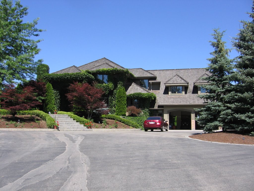
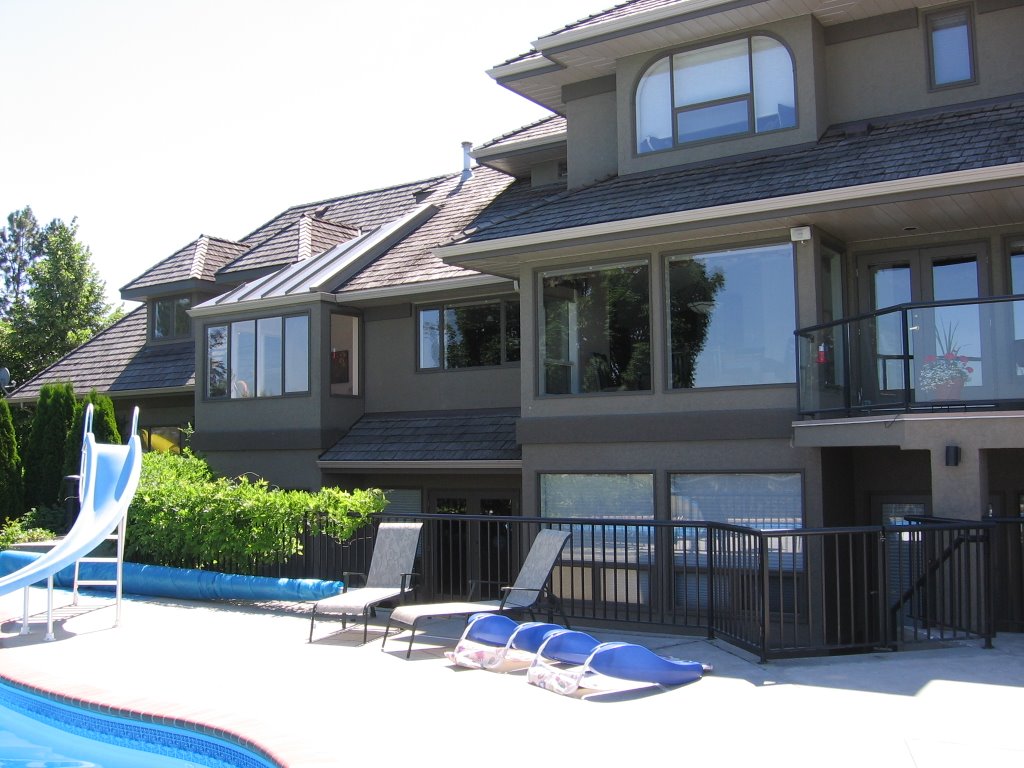
I spent most of the day simply lounging around my parents' house and sleeping off the 15 hour drive from the day before. As you can see, its quite the shack.


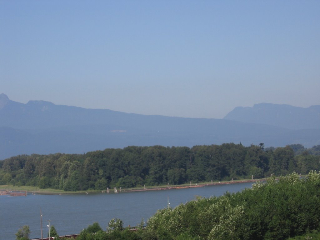
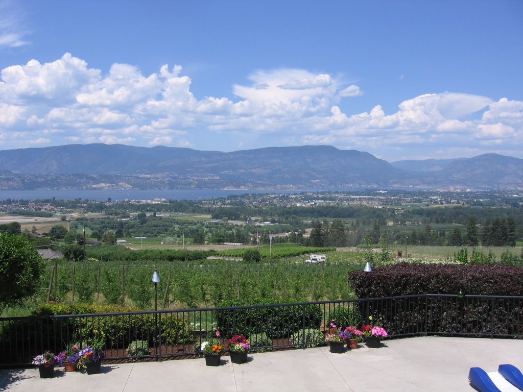
Some of my favourite things about this house include the view...

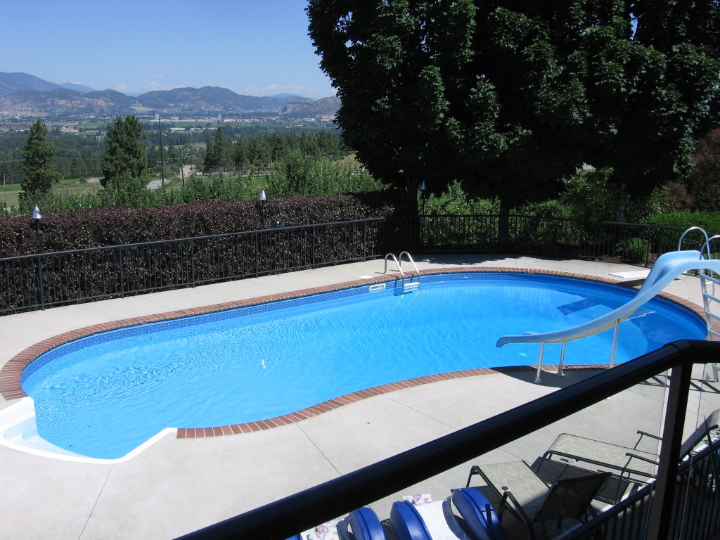
... the pool...

... the deck...

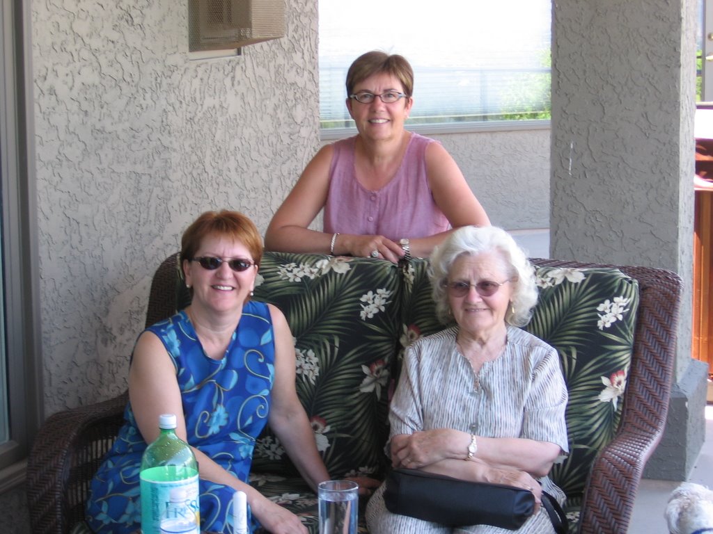
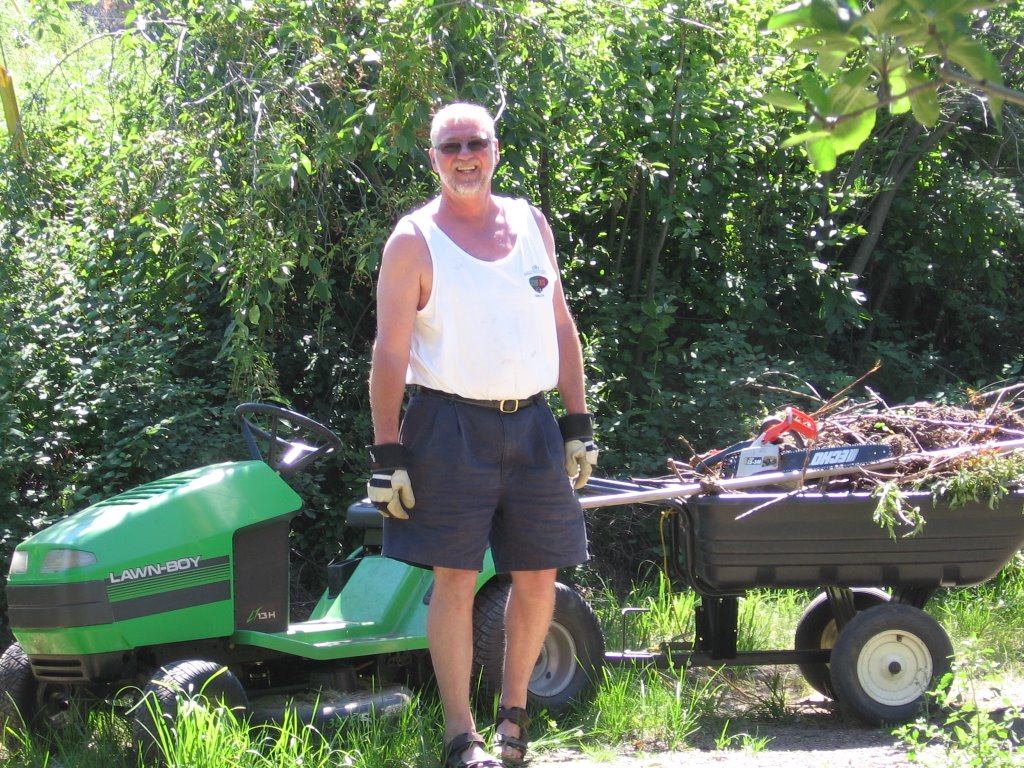
and, of course, the company.

Like I said, not much to report since I spent most of the day in or near the pool.

This afternoon i'm heading for Vancouver to see some friends and I promise to bring the blog up to date with the today's activities tonight from Vancouver.

Sunday, July 2, 2006

Day 1: Fort McMurray to Kelowna


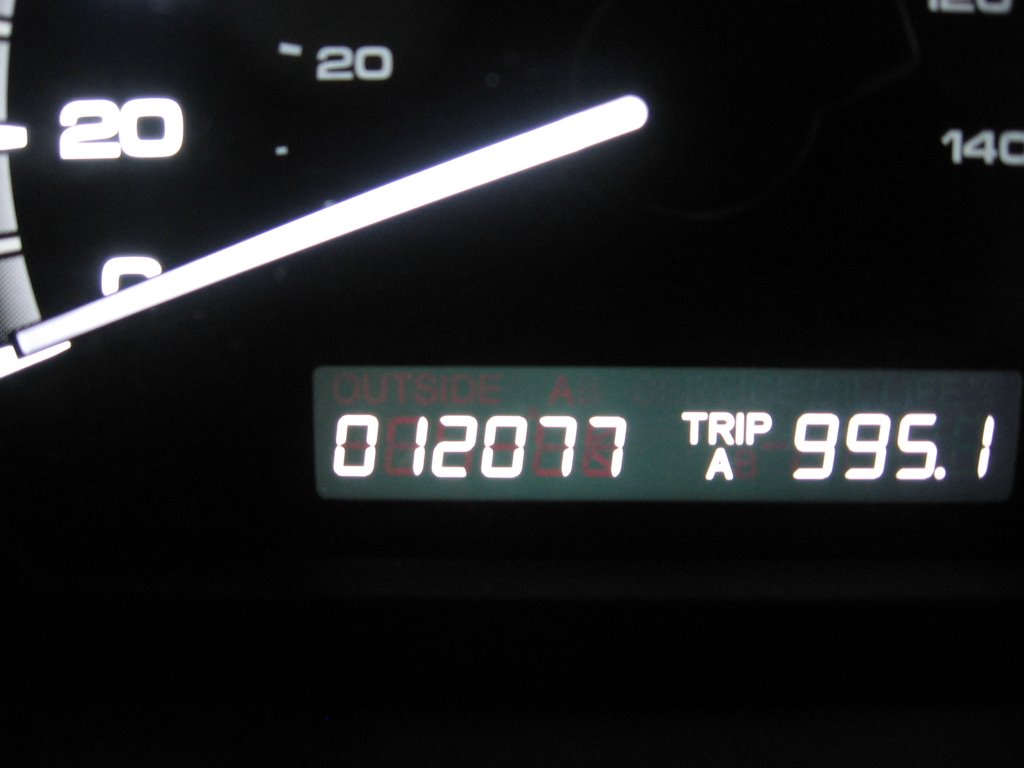
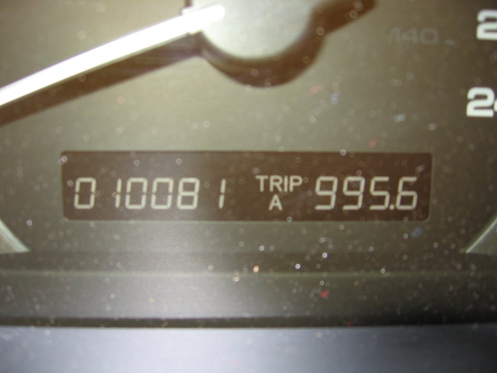
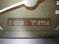
I left my driveway in Fort McMurray at 6:07am Mountain Time with my luggage, my mother's golf clubs, and the family dog in tow. Given the mileage I expect to put on this week, I thought a shot of the odometer reading would be appropriate.
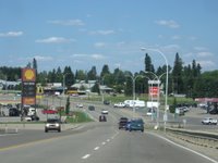


Although I stopped in Westlock for fuel, there was no rest so I didn't bother to take a picture. Beautiful downtown Edson, Alberta (shown here) was the first real stop for a break and a tasty Big Bacon Classic...
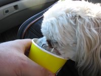


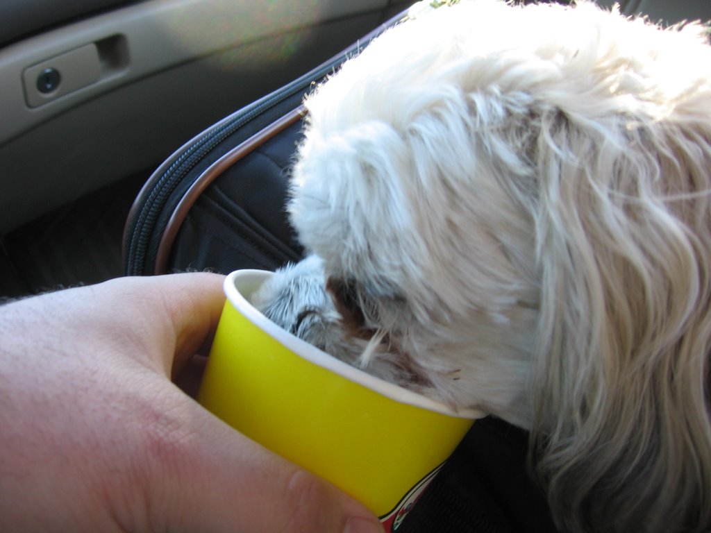
... I also got the dog some water.
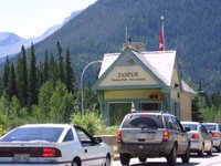


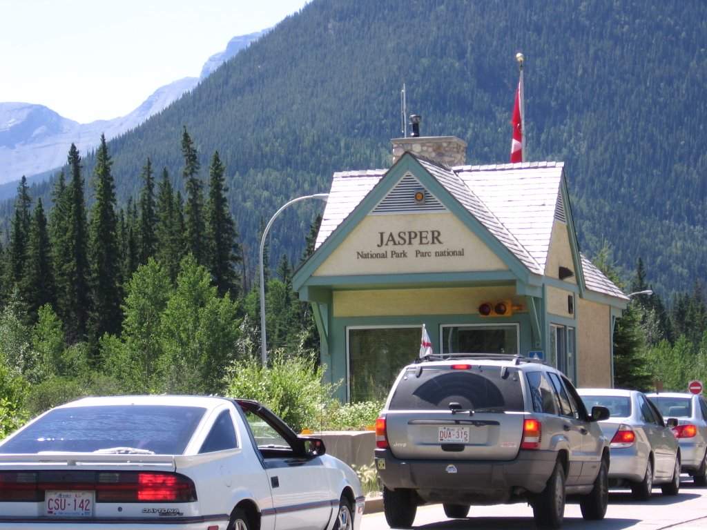
At around the 7 hour mark, I hit the gates to Jasper National Park. Its a truly spectacular drive through this park, one I recommend to anyone. It was here, from the gentleman in the silver Jeep, that I learned that England had lost 3-1 to Portugal that morning in the World Cup. Damn.
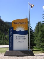


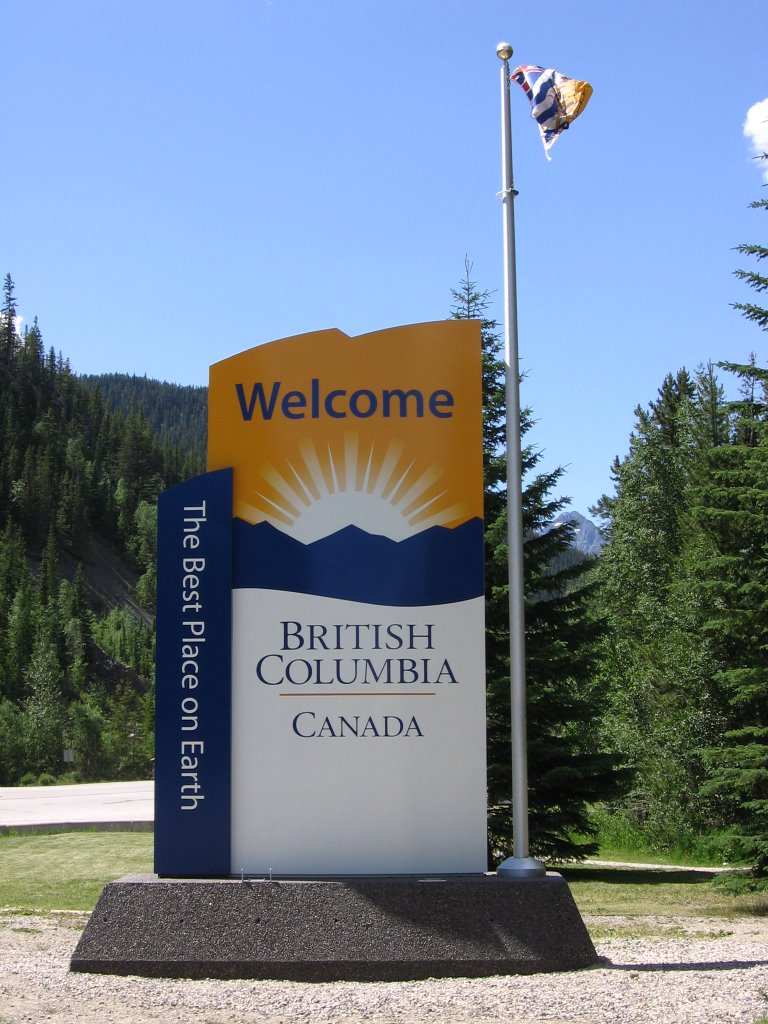
Not too long after passing through Jasper, I hit the BC border. Given that i'm going to be calling BC home for at least the next two years, I thought it was appropriate to take a picture.


Shortly after crossing into BC, a great song came on the satellite radio. You can't really make it out on the display, but the song in question in Sheryl Crow's "A Change Would Do You Good". Clearly this was a positive omen in relation to my upcoming move :)


I took a lot of pictures of mountains and scenery on the leg between Jasper and Kamloops. The only one i'll post to the blog, though, is this one. Given that I spent Canada Day driving across a part of this country, I thought it was fitting to stop and take a moment (and a picture) to honour one of Canada's greatest citizens of all time.

The mountain you see in this picture is Mount Terry Fox.
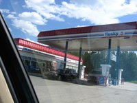


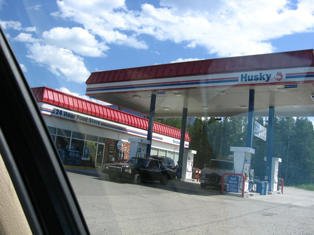
Though scenic, the drive between Jasper and Kamloops is sparsely populated. The halfway point is the town of Blue River, home to this Husky station which is also a major hub for the Mrs. Freshley's Snack Cake Empire (ask William about this).


It took me 45 minutes to finally get past this jerk. I'll be happy never to have this view of him again.


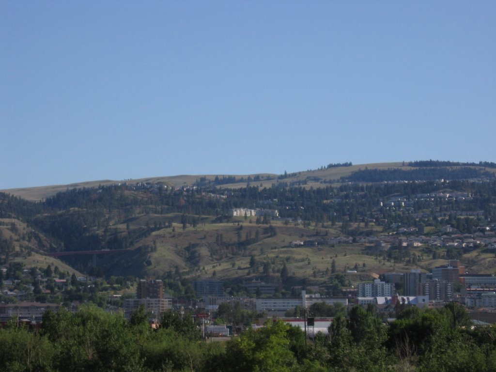
After passing through Vavenby, Avola, and Barriere (site of a nasty forest fire a few summers ago), I finally arrived in the beautiful city of Kamloops.
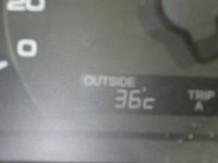


Even at quarter to six in the evening, Kamloops was VERY VERY hot.
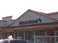


By this point I was getting pretty hungry and a bit tired, so I decided to stop at my favourite spot in Kamloops, Milestone's. Yes, I know Milestone's is a chain and they're all over BC... but I seem to have a habit of stopping at this one.

This picture was also the only time I took a picture with a Canadian flag that was actually waving... kudos to the driver of that van for having the foresight to park where they did.
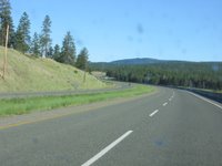


Alright, we're back on the road now for the home stretch. This is arguably the best part of today's drive because its on the Coquihalla Highway, my favourite stretch of road on earth.

I love the Coquihalla.


I REALLY love the Coquihalla.
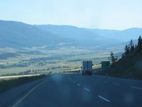


Descending into the beautiful Nicola Valley and the town of Merritt, home of the Merritt Mountain Music Festival.
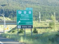


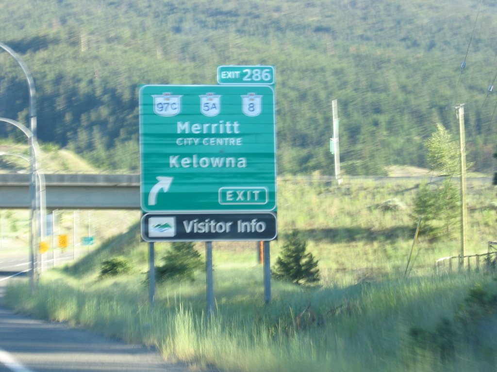
Merritt is also where I get off the Coquihalla and onto the 97 Connector which cuts across to Kelowna. 97C is also an excellent drive and will be just as nice as the Coquihalla once the few remaining sections are twinned.


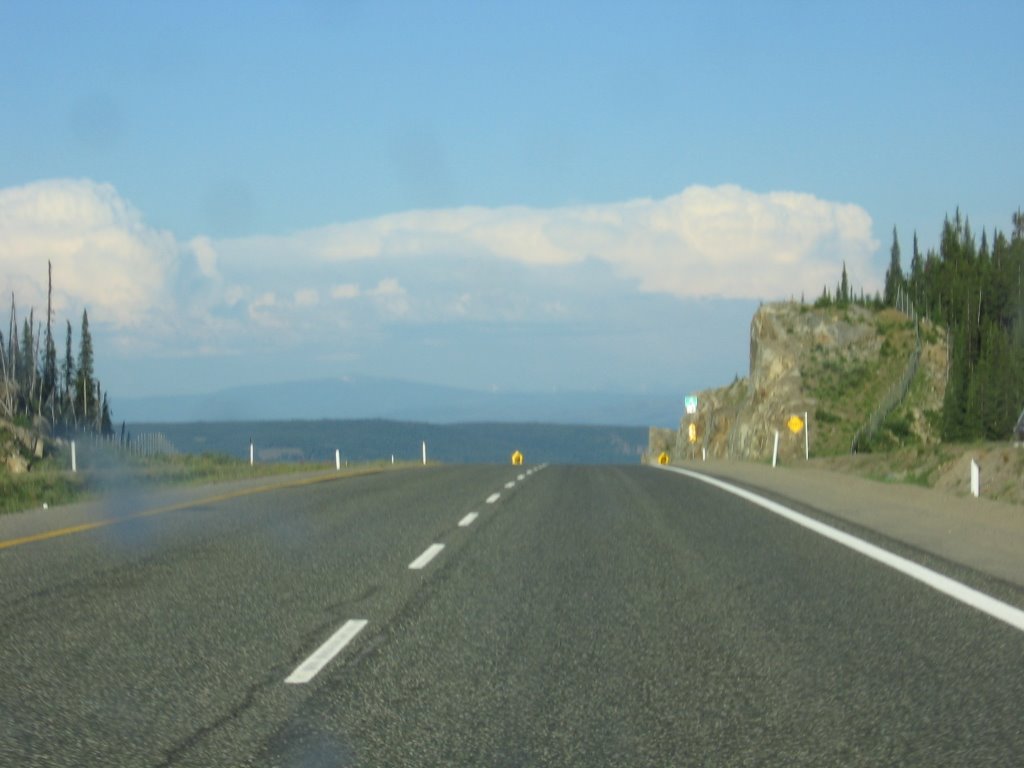
This is the summit of the 97 Connector. At some 1700m (5500 feet) above sea level, this was the highest indicated point during my journey today. From here, the decent into the Okanagan is quite dramatic... so much so that, at one point, my onboard fuel economy read 99.9 mpg.


The "final approach" into the valley with a stunning view of Okanagan Lake. This shot could easily be a Group of Seven painting.
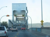


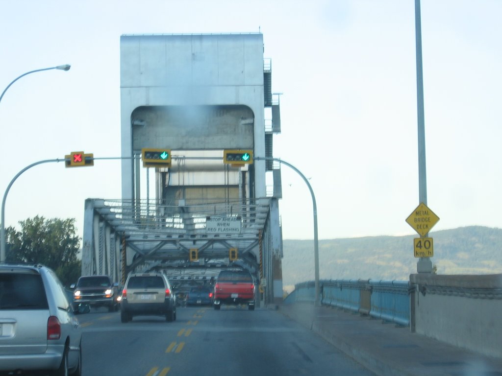
Crossing the floating bridge across Okanagan Lake into the City of Kelowna. This bridge is set to be replaced by a proper bridge by the end of 2008. It will be a welcome relief to both residents and visitors alike, i'm sure.


And finally, after slaughtering a great many insect with my Honda, we arrive at last at the Robert Ponderosa on Bedford Road.
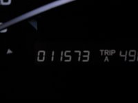


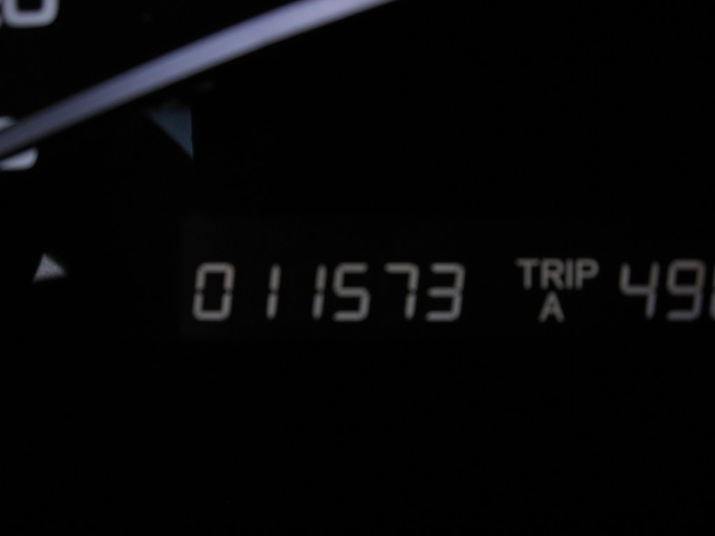
At 8:28pm Pacific Time, this was the reading on the odometer.

Total distance travelled: 1492km

Total travel time: 15 hours, 21 minutes
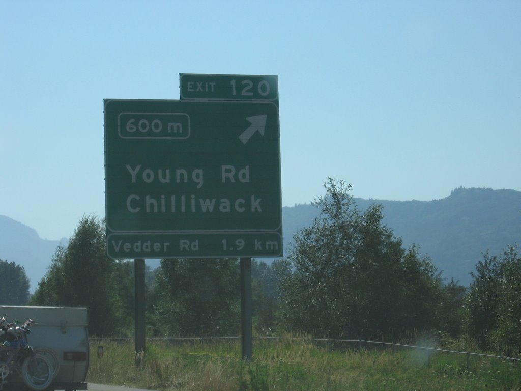
Better than AMA TripTik est. time by: 47 minutes